
 Streamline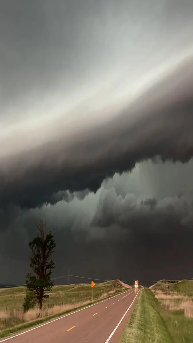
Some of the most important features in a weather setup are not dramatic objects that travelers can photograph directly. Atmospheric boundaries are a good example. They mark areas where conditions such as temperature, moisture, or wind differ, and they can play an important role in where thunderstorms develop. For travelers interested in storm chasing 2027, learning the basic idea behind these boundaries can make a forecast discussion much more meaningful.
There is no need to understand advanced meteorology to appreciate the concept. What makes boundaries interesting on a chase is the way information on a weather map can eventually connect with noticeable differences across the landscape.
A Boundary Is Not Always Visually Obvious
The word “boundary” can suggest a clearly marked dividing line, but the atmosphere rarely works so neatly. Travelers should not expect to see a visible wall separating two air masses. Instead, differences may be gradual. Conditions on one side can feel warmer or more humid, while winds may behave differently somewhere else.
Weather observations help meteorologists identify these zones even when the transition is difficult to recognize simply by looking outside.
Geography Makes the Concept Feel Real
Seeing a boundary on a map is one thing. Traveling across a region where conditions change gives the idea a more practical dimension. A chase route may pass from one environment into another over the course of the day. Travelers might notice differences in cloud cover, temperature, wind, or the general feel of the air.
These observations are not enough on their own to analyze the atmosphere, but they help connect forecast information with the real landscape.
Boundaries Can Influence Storm Development
Thunderstorms need suitable ingredients to develop, and certain boundaries can provide areas where air is encouraged to rise. This is one reason forecasters pay attention to them when considering potential storm targets. The presence of a boundary does not mean a thunderstorm will automatically develop, but it can form one part of a larger weather setup.
Understanding that relationship gives travelers another clue as to why one region may receive more attention than another during the day’s planning.
Different Types Can Matter
People exploring tornado chasing tours 2027 may hear terms such as cold front, warm front, or dryline during weather discussions. These features describe different kinds of transitions within the atmosphere.
A traveler does not need to memorize every definition. A simple understanding is enough:
-
Cold fronts involve advancing colder air
-
Warm fronts involve advancing warmer air
-
Drylines separate air with notably different moisture characteristics
-
Outflow boundaries can be produced by thunderstorms
Each can interact with the surrounding environment differently.
Drylines Are Especially Interesting on the Plains
Drylines are closely associated with parts of the central and southern Plains. They separate relatively moist air from much drier air and can sometimes be relevant to thunderstorm development. For visitors, the interesting part is seeing how a feature discussed during forecasting relates to the day’s eventual target.
A location on a map that initially seems arbitrary begins to make more sense when travelers understand that atmospheric features, not tourism landmarks, are guiding the journey.
Boundaries Help Explain Cloud Patterns
Cloud development is rarely distributed evenly across the entire sky. One area may contain growing cumulus clouds while another remains much clearer. There can be several reasons for this, but atmospheric boundaries may be among the features forecasters consider when evaluating where development could occur.
Watching cloud patterns after hearing the morning discussion encourages guests to look at the sky with more purpose. They can compare visible development with the areas receiving attention earlier in the day.
Maps Become Part of the Travel Story
A conventional road trip map shows highways and destinations. During storm chasing, weather information effectively adds another layer.
The day’s route can make more sense when travelers understand that guides are considering both geography and atmospheric conditions. Towns become useful reference points for weather targets rather than attractions that must be visited.
This combination of map reading, travel, and observation gives the journey a distinctive educational character.
One Concept Can Unlock More Questions
Learning about boundaries often leads naturally to other questions. Why are winds different on either side? Why are clouds forming in one region? What makes one boundary more relevant than another? These questions can introduce travelers to meteorology without requiring formal study.
The goal is not to turn a vacation into a technical course. It is to give enough context that the decisions and weather encountered during the journey become more interesting.
Conclusion
Atmospheric boundaries demonstrate how features that are almost invisible to casual observers can influence the way meteorologists interpret a severe-weather setup. Connecting maps, changing conditions, cloud development, and the surrounding geography can add a valuable educational dimension to a chase.
During a journey with Storm Chasing Adventure Tours, guests can discover that understanding even a few basic weather concepts can make the skies of the Great Plains considerably more fascinating to observe.
